By Rosa Hicks, GWCT GIS Placement Student
Drones might be the latest recreational gadget; however, their aerial imaging capabilities make them excellent tools for habitat and wildlife research. To discuss this further, staff members from across the trust recently met up at the GWCT Allerton Project, equipped with some state-of-the-art drones and eager placement student pilots.
One of the ways the trust is currently using drones is in wildlife research, especially the GWCT Wales team, where drones are being flown with optical and thermal imagery to estimate fallow deer population sizes across Wales. The use of drones in this research allows mountainous areas of habitat to be monitored, which would otherwise be inaccessible for research by foot.

The thermal imaging also allows animals to be seen in the dark, or within dense vegetation. Equipped with a telephoto zoom, disturbance from the drone is minimal and so natural animal behaviours can be observed and monitored. GWCT research teams are hoping these attributes of drones will make them valuable for predation management as well as woodcock, hare, and grey partridge counts.
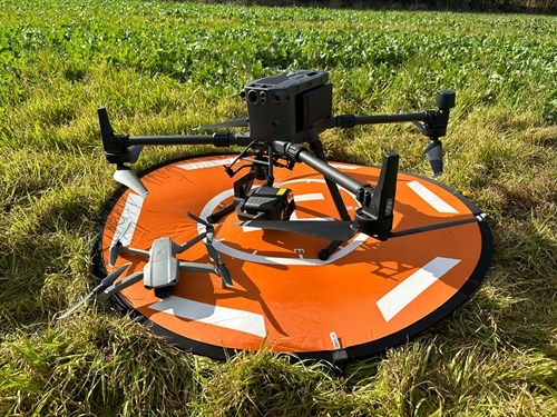
 We got to see the DJI Matrice 300 in action and were able to locate some pheasants using its thermal imaging camera.

Another future use of drones in the trust is for conducting habitat assessments. Here, optical imagery could show habitats, which could then be identified and quantified, for our research or advisory work. The ability to identify a beetle bank from a floristically enhanced margin, aerially, would save countless field hours on the ground. This form of habitat assessment would also provide great imagery for landowners to visualise their conservation efforts and watch changes over time if flying was repeated.
 We got to fly the DJI Inspire 1 Pro, using its controls to check out the different conservation features at the Allerton Project.
This day made it clear that there is a vast future for drones in conservation. And, combined with the constant evolution of drone accessories and software, their potential across GWCT is enormous. It was fascinating to hear the different GWCT departments’ plans to incorporate drones in the future, and great fun to get to pilot some ourselves!